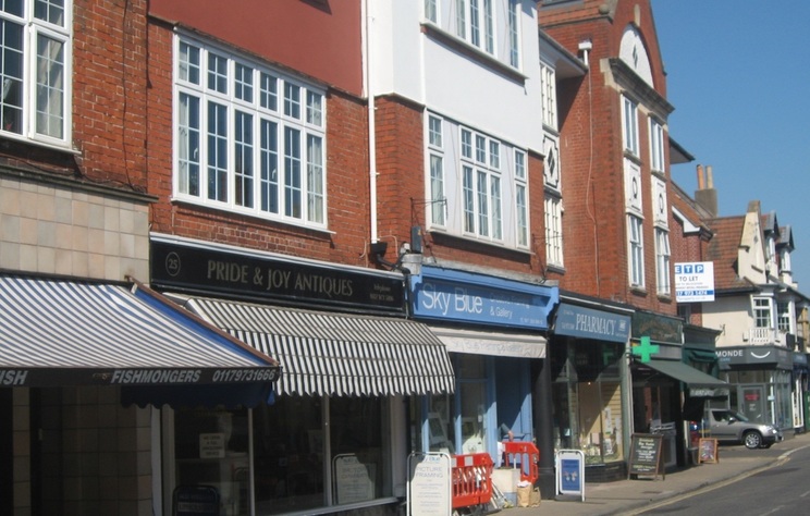
Ideas for Walking, Cycling and Traffic Calming in Westbury Park
A new Interactive mapping tool was launched by the City Council in early June 2022 to capture the public’s views on possible changes for transport and travel in Bristol. The public can add their comments and ideas to the map online. This could include identifying difficult locations to maintain social distancing, which roads could be included in revised plans and ways to create better spaces for cycling and walking across the city.
The mapping tool provides a good opportunity for put forward views and ideas to secure safer and more environmentally friendly streets, and to encourage more people to cycle and walk.
The Council’s interactive mapping tool initiative follows on from the recent publication of a number of plans aimed at promoting walking and cycling and reducing reliance on cars. Central Government has published “Cycling and Walking Plan for England”, the West of England Combined Authority (WECA) has published a “Local Cycling and Walking Infrastructure Plan” and the City Council published a Bristol Transport Strategy in 2019. The emerging Liveable Neighbourhoods initiative (https://bristolwalkingalliance.org.uk/liveable-neighbourhoods/) is also aimed at creating more sustainable local communities.
The Mapping Tool can be found at :-
https://bcc.maps.arcgis.com/apps/CrowdsourceReporter/index.html?appid=cdf3f306c90a46d3acf87c048b34825f
s.

